Closing event for Land in Peace project

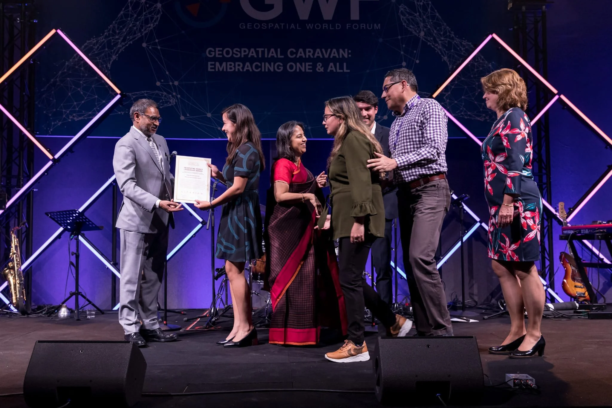
At the closing event of the Kadaster’s project  Tierra en Paz, organized by the Universidad Distrital Francisco José de Caldas from the NIDE research group, different cadastral institutions shared their ideas on the challenges of land administration in Colombia and the benefits of the #FitforPurpose methodology.

The importance of participation, the place of new technologies, and the need for legal flexibility for the implementation of the methodology were some of the conclusions. Bringing together actors from different contexts to talk about a common methodology focused on citizen contexts was one of the achievements recognized during the day.

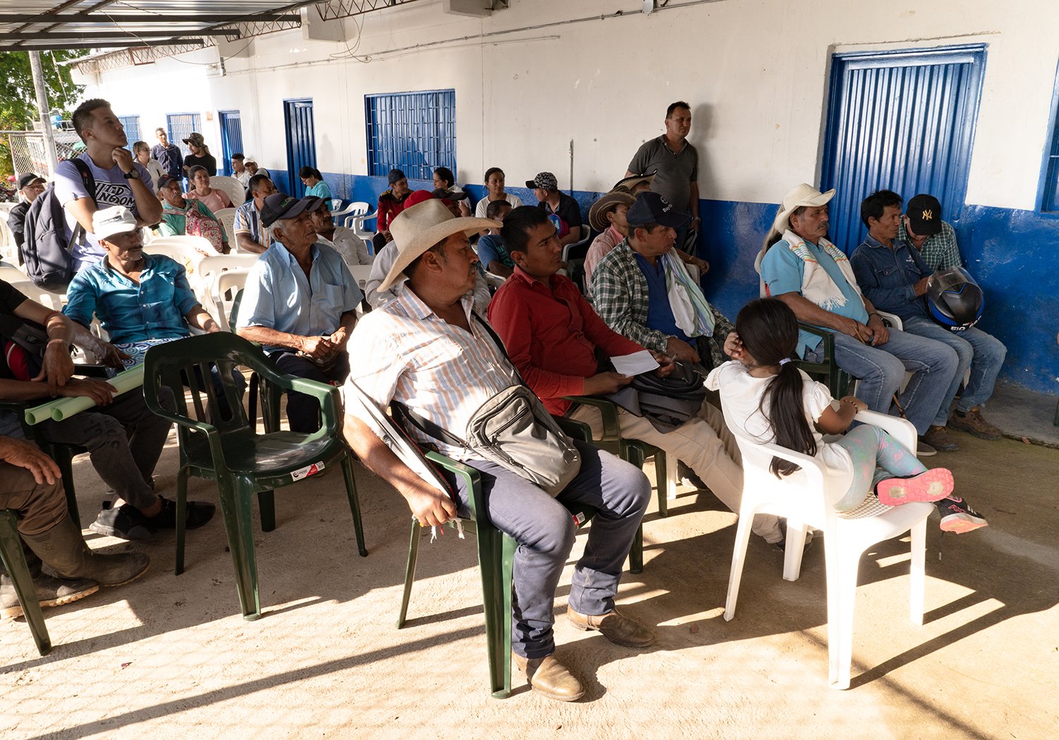
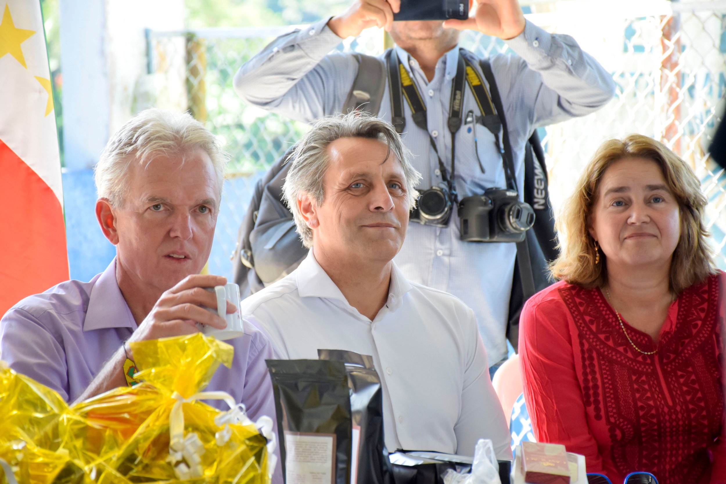
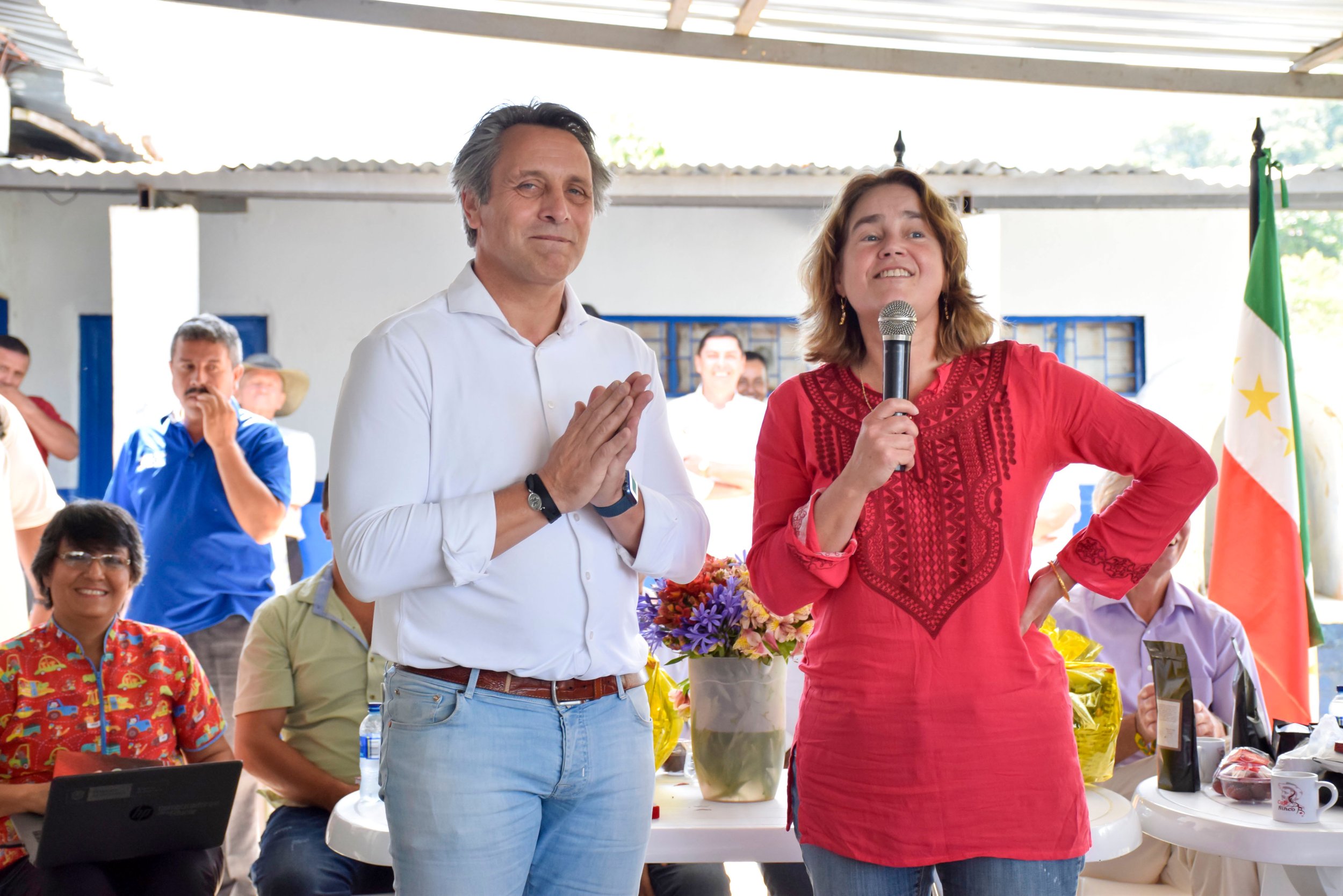
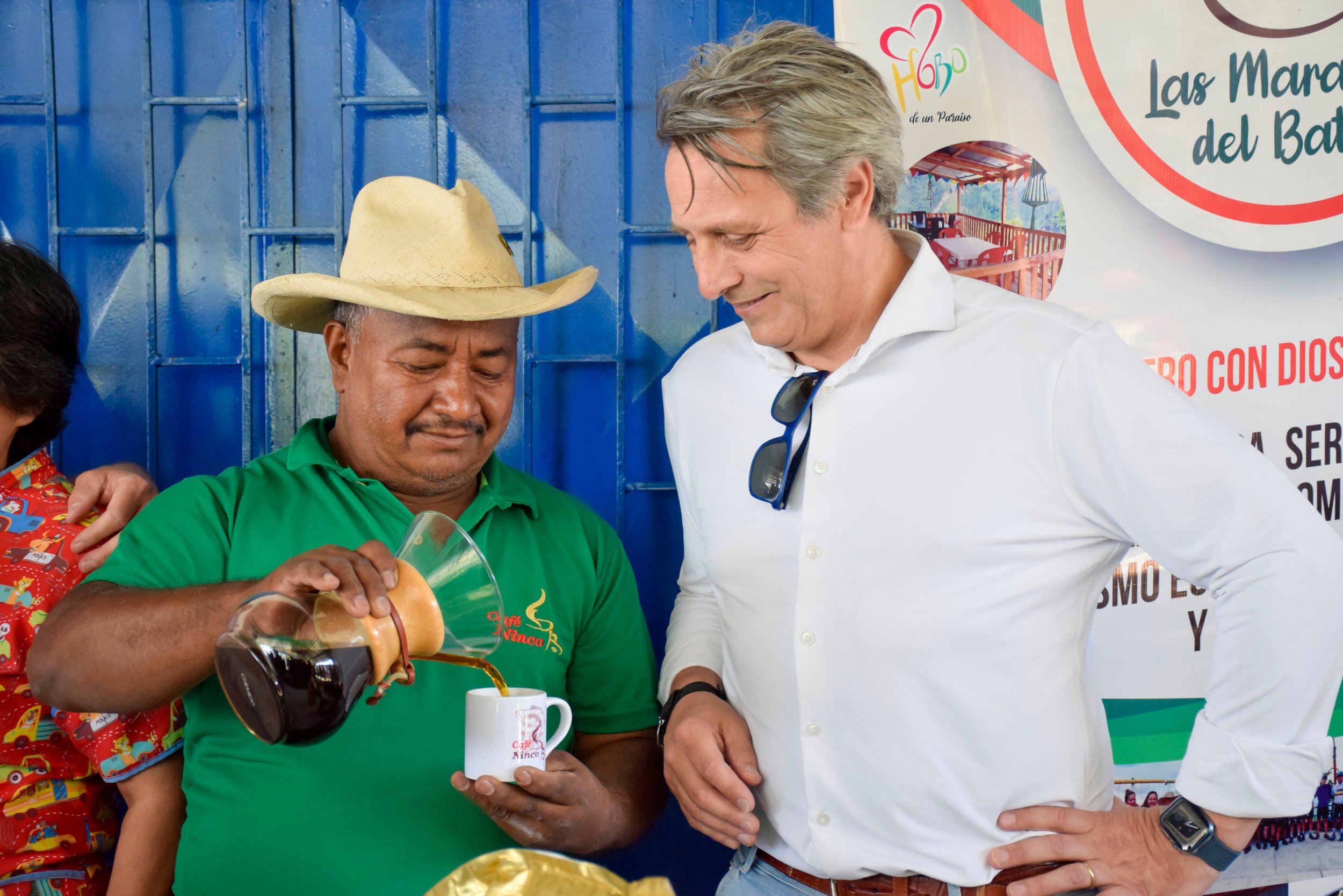
Mathilde Molendijk, Kadaster's Regional Manager for Latin America projects, welcomed the event together with Alvaro Ortiz, Director of the NIDE research group, focusing on the importance of remembering that the target of the measurements is the citizens and their needs. They also emphasized the opportunities that new methodologies can bring for the fulfillment of the peace agreement in Colombia.

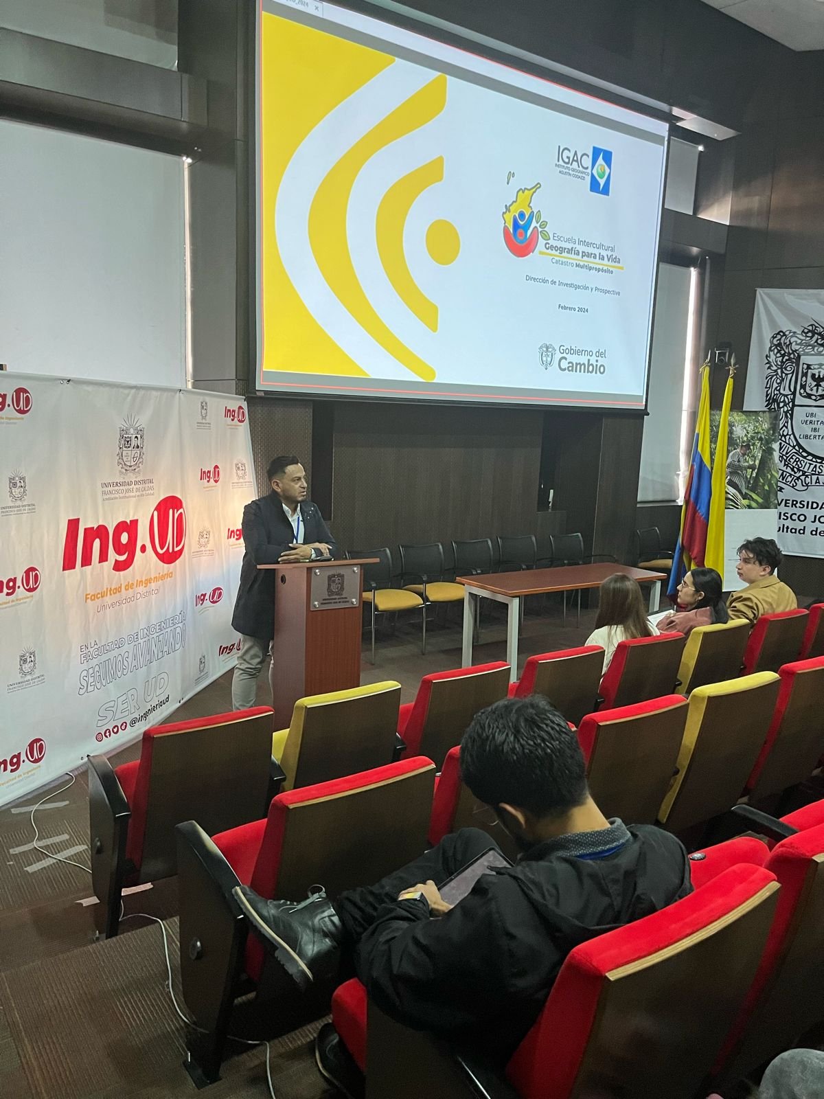
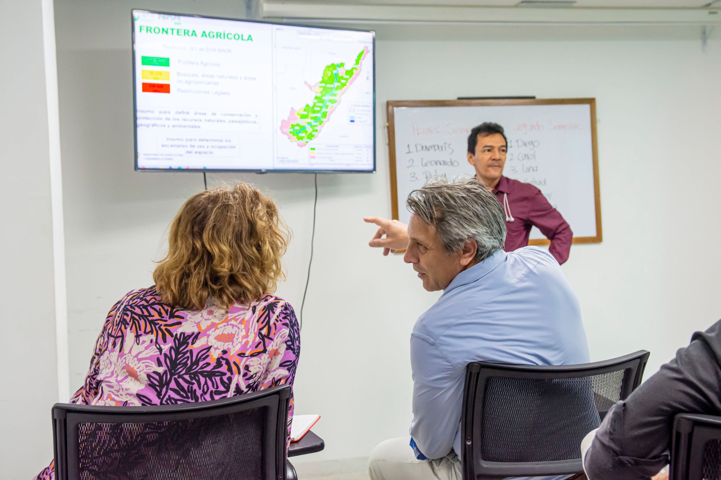
The event was divided into three approaches with different representatives: governmental, academic, and cooperation agencies. From the land institutions, representatives of the Geographical Institute Agustín Codazzi, IGAC; the National Land Agency, ANT; the National Planning Department, DNP, and the National Administrative Department of Statistics, DANE, presented the possibilities of applying the Ffp methodology in their respective fields of action.

After the interventions, a panel was held to highlight some of the strengths of the Ffp methodology for the execution of the Multipurpose Cadastre, such as the participation and knowledge of the communities, cost efficiency, and flexibility. The challenges discussed were the empowerment of communities and the importance of social rigor in legal security.

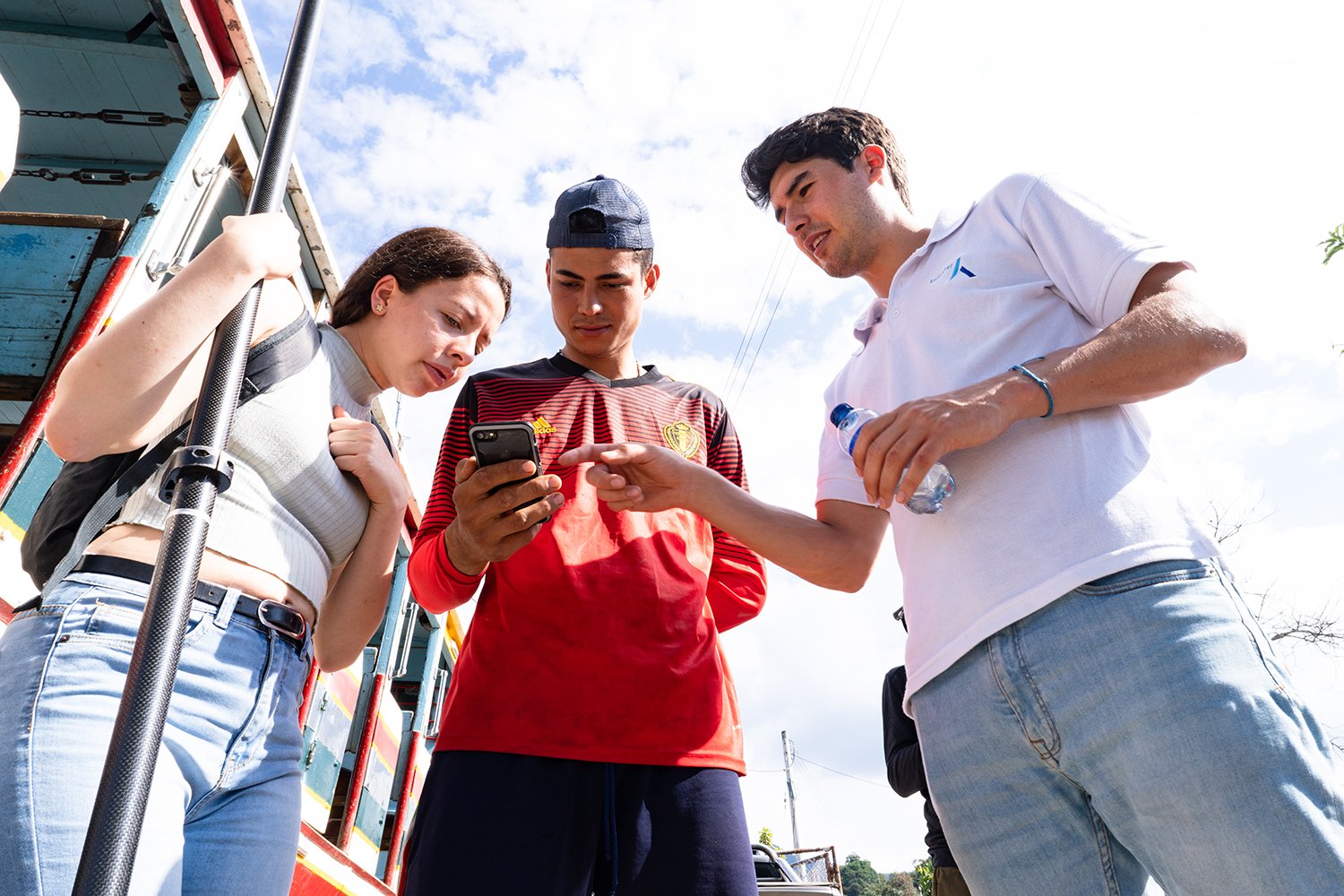
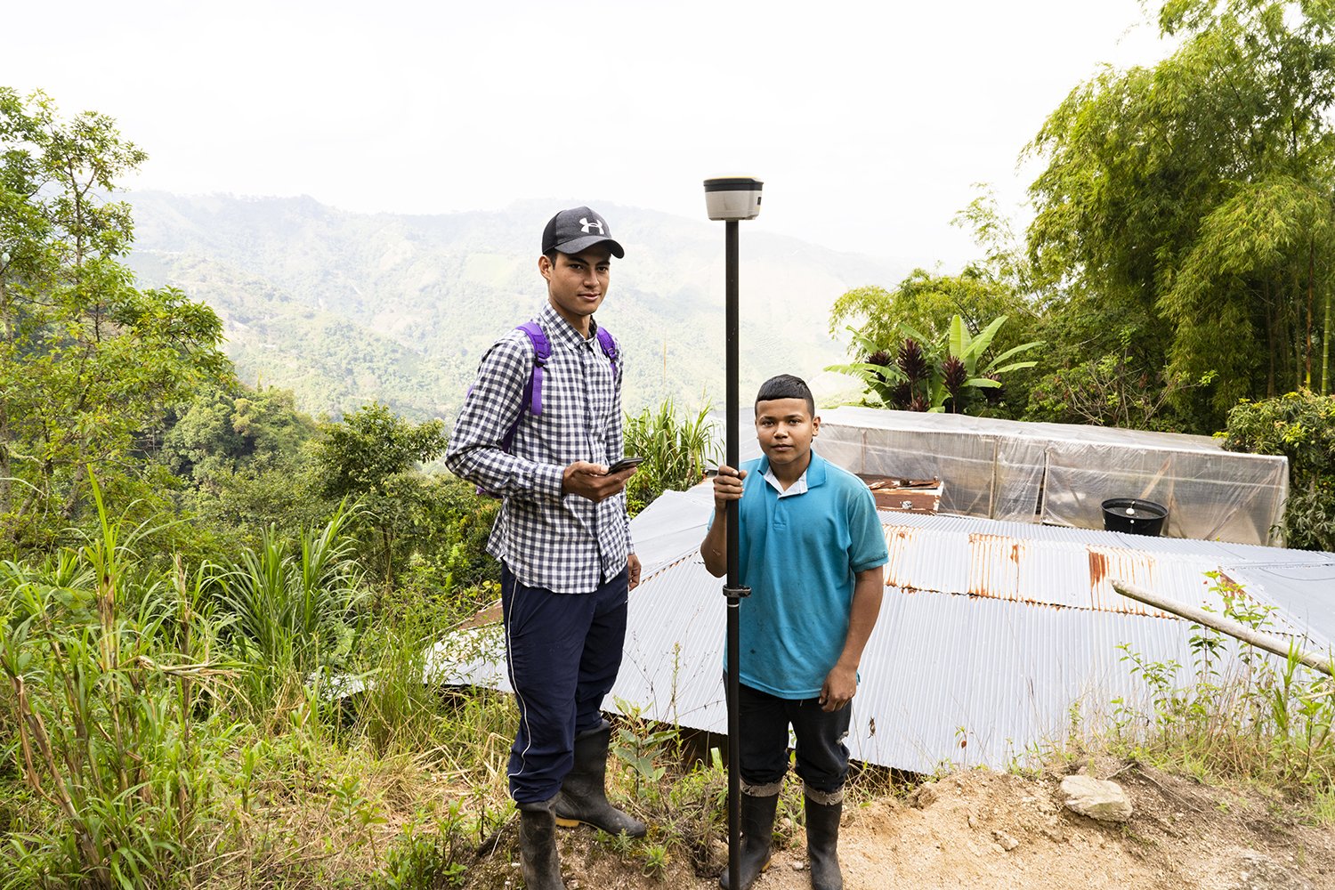
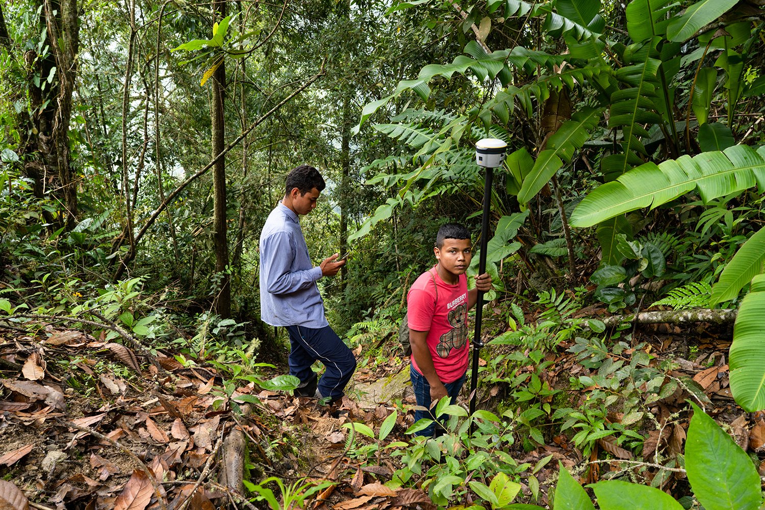
To open the academic approach, students from the NIDE group, who have participated in pilots of the Tierra en Paz project, shared their analysis and experiences regarding the challenges of future professionals. Afterward, professors and researchers from Universidad Externado, Universidad Distrital, and the University of Twente spoke about the role of academia in the formation of professionals with critical thinking, curiosity and innovation. They also discussed the challenge faced by these institutions to generate synergy between the needs of society and the labor sector.

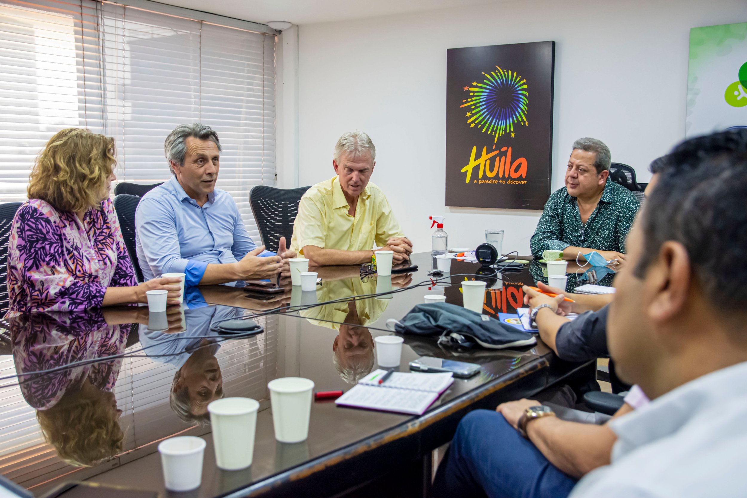
The event closed with a panel with representatives of the Tierra en paz project, Swiss Tierras and the World Bank in which they discussed the possibilities of using the Ffp methodology in different types of projects.

The project and the methodology have contributed from different fronts and impacted the traditional processes from their social, technological and participatory components. Many challenges and opportunities remain for helping to fulfill the citizen's needs and the goals of the Colombian government.

Alexánder Zambrano Salazar
We participated in the regional learning cycle of Land Coalition, FAO, and Tenure Facility

We were selected as one of the speakers in the Regional Learning Cycle called: "Lessons Learned for Investment in Delimitation and Recognition of Indigenous and Afro-descendant Territories in Latin America", organized by Land Coalition, FAO, and Tenure Facility.

The learning cycle is part of Land Coalition's Learning Hub strategy and seeks to generate exchange of experiences, good practices, and learning about land through courses and a digital interface. The cycle has four sessions focused on: context, technologies, rights, and governance.

As part of cycle II, focused on technologies and information systems to strengthen participatory processes of delimitation and recognition, three experiences were shared that have developed methodologies based on the implementation of geographic information systems. We addressed the application of the Fit-For-Purpose methodology for the resolution of land conflicts related to indigenous reserves in Colombia.

"This session addressed experiences related to the implementation of geographic information system technologies and tools for the recognition of collective land tenure rights. In recent years, the introduction of new software and geographic information equipment, as well as the development of new participatory methodologies, has significantly changed the development of registration and demarcation activities of collective territories in Latin America".


Learn more about the cycle in this link:

https://learn.landcoalition.org/es/ciclo-de-aprendizaje/tema-2/

Alexánder Zambrano Salazar
We were invited by Commission V to socialize our progress in the use of the FFP methodology

Commission V of the House of Representatives invited us together with ANT, IGAC and DNP to show the progress we have made in land issues. Leontine Crisson, agricultural counselor of the Embassy of the Netherlands, and Mathilde Molendijk, Kadaster's regional manager for Latin America, socialized the results of the research on the legal simplification of rural land formalization that we conducted together with the Externado University of Colombia. Understanding the legal barriers helps to promote the use of more agile, economic and collaborative methodologies that facilitate the fulfillment of government goals.

During the political control session, several institutional and Chamber representatives addressed the relevance of the land issue and the urgency of updating the cadastre in the country. Leontine Crisson gave an introduction about the benefits of the Ffp methodology, especially its agility and collaborative work. Mathilde Molendijk, the next speaker, addressed the importance of legal simplification for the fulfillment of government goals. From there, Dr. María del Pilar García, explained the details of the research conducted by the Universidad Externado to overcome some legal bottlenecks for land formalization.

Participation in this scenario is evidence of the interest in supporting the Colombian government in meeting the land formalization goals of the Peace Accord. The use of new methodologies together with legal modifications can help streamline the processes and make them more economical and collaborative.

Alexánder Zambrano Salazar
Land in Peace at the IX Annual Conference and Assembly of the Inter-American Cadastre and Land Registry Network

We participated in the last keynote of the first day of the IX Annual Conference and Assembly of the Inter-American Cadastre and Land Registry Network #CONFCAT2023. In a panel with Brent Jones, Global Cadastre Manager at Esri, we discussed the future of territorial information. Collaborative methodologies that empower the community, such as Fit for Purpose, can support the fulfillment of government goals from the knowledge of communities about their territories.

The Annual Conference and Assembly of the Inter-American Cadastre and Property Registry Network is the most important annual event of the Inter-American Network of Cadastre and Property Registration, and seeks to contribute to the advancement of cadastral and registry systems, the establishment of administration systems and land management in the countries of the region.

This year the central theme was focused on the Cadastre and Registry in times of climate crisis from three thematic axes: the Cadastre and Registry as sources of information of public value, new technologies in the Cadastre and Registry and the valuation of real estate for tax equity and environmental sustainability.

Alexánder Zambrano Salazar
Access to rural land in Colombia: seminar hosted by Universidad Externado to analyze the legal paths to speed up the formalization processes in the country

The Externado University of Colombia, the Embassy of the Netherlands and Kadaster held on August 16 the Seminar: Access to Rural Land in Colombia. Legal analysis of the Fit-for-Purpose approach.

The event presented and discussed the main research results on the legal barriers to rural land titling, and presented alternatives for improvement aimed at speeding up the processes and procedures of the Social Ordering of Rural Property and the formalization of rural land.  The research was conducted by Externado University last year.

The hybrid seminar was attended by a large variety of professionals, institutional actors, stakeholders such as women farmers from communities waiting for regularized land after concluding fieldwork, expert researchers, professors and students amongst others.

Students shared their experiences in training local grassroots surveyors for land measurement in the field, as they did in El Batán, Hobo. Betty Góngora and Aurora Martínez, community leaders of Vista Hermosa, Meta, called for speeding up the land titling processes: “Young people are organizing themselves to seek fair prices and learning and teaching how to farm organically. With the titles, they can have more certainty and realize they can also do business in the countryside”, Betty Góngora.

Recommendations were presented to legally facilitate participative methodologies related to the peace agreement goals. In several panels representatives of UPRA, Kadaster, ANT, and the Colombian Commission of Jurists, among others, reflected on actions in the sector, for instance, “The cadastre is with the people, for the people”  (Gustavo Marulanda, Director IGAC).

With the results of this seminar, we intend to continue supporting national goals in land matters and promote in-depth discussions that allow for greater clarity on the existing legal barriers and possibilities. 

Download photographs of the event here

Check the summary of the findings

Tierra en Paz at the Esri User Conference

From July 10-14, 2023, the Esri User Conference was held in San Diego, California, a space created by Esri to learn about advances in geographic information systems (GIS) technology and share experiences.

The Tierra en Paz team visited San Diego with the objective of learning about ESRI's technological advances, establishing relationships with organizations for the general strengthening of Kadaster projects in Colombia and presenting the project at a conference.

The presentation, led by Laura Becerra, local project manager in Colombia, socialized the cadastral situation of the country and the application of the Fit for Purpose methodology with the support and empowerment of the communities. Also, the challenges in which the project continues working were highlighted. 

During the stay, meetings were also held with Esri Colombia, the Agustín Codazzi Geographic Institute, the Presidency of the Republic of Colombia and the director of Esri, Jack Dangermond. Among the commitments of these meetings, new possibilities with the use of the methodology were discussed, meetings were held with other government agencies in the country and new technological tools that can be used in the field were presented.

Kadaster International won the Empowering Community Award at the Geospatial World Forum

This month the Geospatial World announced and presented its annual Geospatial Leadership Awards at Geospatial World Forum. These awards acknowledge exceptional leadership, innovation, and transformation efforts made by individuals and organizations in the geospatial industry.

This year, the awards were drawn from open nominations and selected by a panel of jury comprising eminent industry stalwarts: Greg Scott, Inter-Regional Advisor, UN-GGIM (Chair); Lena Halounova, President, ISPRS; Nadine Alameh, CEO, Open Geospatial Consortium; Basanta Shrestha, Former Director of Strategic Cooperation, ICIMOD; and Derek Clarke, Former Chief Director, Department of Rural Development and Land Reform, South Africa.

Kadaster International won the Empowering Community Award for its Land in Peace project work. Kadaster International has been working with Colombia institutions to contribute to implementing the Peace Agreement in Colombia, focusing on Fit-for-Purpose land administration. By cooperating with Colombian-Dutch governmental institutions, academia, and the commercial sector to develop the needed technologies and train local communities, Kadaster has simplified land administration processes and empowered farmers and indigenous communities. The project has directly impacted the land administration at a local and national level. The Colombian National Land Agency has implemented the Fit-for-Purpose approach to update municipal cadastres in several regions.

Many grassroots surveyors have supported cadastral actualization activities in different parts of the country, and several indigenous youngsters were trained to support their community. This award is for them and all the Colombian institutions who work towards guaranteeing land tenure.

Congressmen and land institutions met with the Embassy of the Netherlands to learn about the FFP methodology

Senators, members of the House of Representatives, and officials from land institutions met with the Kadaster team and the Embassy of the Kingdom of the Netherlands to discuss the FFP methodology and seek joint cooperation actions that can help the country improve and meet its goals associated with land formalization.

Ernst Norman, Ambassador of the Kingdom of the Netherlands; Enrique Dussan, Governor of Huila; and Mathilde Molendijk, representative of Kadaster for Latin America, introduced the objective of discussing the current land administration situation in Colombia and its relationship with the participatory Fit for Purpose methodology in Colombia.

During the meeting, technological advances for land formalization were discussed by different institutions, and the research progress made by Land in Peace together with the Externado University of Colombia was shared. This research deals with legislative reforms that allow guaranteeing tenure security to farmers and meeting the goals proposed by the national government.

As a result of the meeting, possible paths and strategies were established to test methodologies and apply localized legal exercises. It was also proposed to establish a working group with representatives from different entities and institutions to carry out the proposed tasks.

Recognized newspaper in Colombia accompanied measurements in Hobo, Huila

El Espectador, one of the most recognized newspapers in Colombia, accompanied the Land in Peace team to the final measurements and public inspection in El Batán village, municipality of Hobo, Huila. As part of the Colombia+20 project, which addresses post-conflict, territory, and peace issues, journalists from the newspaper covered the work carried out by Land in Peace and its importance for fulfilling peace agreement goals in the country.

"Specifically, to carry out more rigorous formalization processes in the Colombian countryside, Kadaster has brought pilot strategies to the country in the Land in Peace project. In Sumapaz and the municipality of Hobo, Huila, the Dutch cadastre has carried out participatory proposals in rural communities to measure lands, define boundaries, promote consensus among neighbors, and sign and formalize.”

Agile and participatory measurement methods are some of the main characteristics of the Fit for Purpose methodology implemented by Kadaster through the Land in Peace project. The role of young people as community grassroots surveyors was another aspect highlighted in the article.

"To achieve the pilot in Huila, Kadaster has trained young people from Hobo, such as Juan de Jesús Perdomo and Johan Giraldo, two curious boys interested in entering the world of topography. They are students and potential coffee growers who have taken the risk to learn how to measure their farms and their community, thus gradually allowing El Batán properties to be delimited and awarded."

Read the full article at this link: This is how the Dutch methodology for formalizing lands in rural Colombia works


Joint work in Hobo with the Government of Huila

Within the framework of the Memorandum of Understanding established with the Embassy of the Netherlands and the Government of Huila, an exploratory visit was organized in June 2021 with the Kadaster team. This visit allowed for an approach to the work team in the Government, IGAC, and establishing possible approaches to joint work.

In November 2022, the Kadaster team trained government officials in the theoretical and practical application of the FFP methodology, with equipment acquired by the Government in September of the same year. Together and after agreeing with the Community Action Board, a work schedule was established in the El Batán village in the municipality of Hobo.

In February 2023, the joint measurement process began between the Kadaster team, students from the Universidad Distrital, and the Government of Huila. For several days, the FFP methodology was applied: the process was socialized with the community, 3 youngster grassroots surveyors were trained to survey the lands with their owners, technical and legal data was collected, and a public inspection was carried out to settle conflicts between plots and owners.

As a result, several lands are being analyzed by the Government to verify documents and grant titles. During the process, 104 residents of the village participated, and 97 spatial units were measured (corresponding to 373.4 hectares). The Government will make the necessary corrections to generate titles, Kadaster will share the collected data with easy access for the Government (Kadaster), and IGAC and ANT will be invited to establish more joint actions in the department.

Frank Tierolff, Chair Executive Board of Kadaster, visited Colombia

Frank Tierolff, Chair Executive Board of Kadaster, visited Colombia to learn about and support Kadaster's projects in the country. Together with the team, he met with the director of one of the most important land institutions in Colombia (IGAC) to sign a Memorandum of Understanding that consolidates the support of Kadaster and the Netherlands in the fulfillment of the Colombian government's land goals in post-conflict territories.

He also visited the department of Huila to learn about the progress of the most recent pilot of the Land in peace project in which, through the methodology applied by Kadaster, young grassroots surveyors are trained, properties are measured with the owners, conflicts are settled in public inspections and studies are carried out together with local institutions to provide peasants with titles that give them security of land tenure.

During his visit he learned about the context of the Colombian countryside, the coffee production processes and the importance of land tenure for the peasants. He also met with the local government to strengthen the alliances and impacts of the project.


Kadaster and the Embassy of the Netherlands signed a memorandum of understanding with IGAC

The Director General of the Instituto Geográfico Agustín Codazzi, - IGAC, Gustavo Adolfo Marulanda, the Ambassador of the Netherlands in Colombia, Ernst Noorman, and the Chairman of the Board of Directors of the National Agency for Cadastre, Land Registration and Mapping of the Netherlands (Kadaster), Frank Tierolff, signed a memorandum of understanding that seeks to promote different bilateral cooperation initiatives oriented to the multipurpose cadastre policy.

This cooperation instrument aims to promote innovative, participatory and efficient methodologies that contribute to cadastral processes for land administration, encourage the participation of local actors such as young people, ethnic and rural communities in the development of cadastral processes, and implement joint research, development and innovation projects.

The Director General of the IGAC, Gustavo Marulanda, emphasized the importance of the development of the different cadastral processes, as these become key elements for the improvement of land formalization and its respective redistribution. With respect to the development of the multipurpose cadastre policy, Marulanda stated that "we must guarantee that the cadastral information gathering process is carried out and ensure that the model implemented is sustainable over time. We will achieve this by empowering the communities in the management and importance of cadastral information and, in particular, in the importance of keeping it updated".

In turn, Ambassador Noorman referred to the cooperation between the government of the Netherlands and Colombia: "our interest is to support the different purposes of IGAC and Kadaster contributing to the advancement of the cadastral update of the country, a key step for lasting peace". He also emphasized his government's willingness to support Colombian institutions in the development of simpler land administration processes.

Similarly, Kadaster's president, Frank Tierolff, assured that cooperation between the two countries has taken on a new air with the support of the government of the Netherlands for the fulfillment of the first chapter of the Colombian Peace Agreement signed in 2016. "We have proposed faster and cheaper methods of rural land administration that involve the direct participation of farmers through their local organizations, communal action boards or indigenous associations."

This memorandum of understanding adds to the international cooperation efforts with which the IGAC seeks to continue promoting actions for the fulfillment of goals in multipurpose cadastre and the support of the government of the Netherlands in land administration issues.

Alexánder Zambrano Salazar
Land at Scale, an innovative project in Colombia

Land at Scale was born with the objective of supporting the land administration processes of indigenous communities in a fair, efficient and effective way by creating land tenure security. The project focuses on improving land tenure security, economic development and sustainable natural resource management.

During this year the project executed by Kadaster, ICCO and Tropenbos has worked in the indigenous reserves of Gunmaku, Aracataca, and La Teófila, Solano. In Gunmaku, 15 young people from different watersheds were trained in the collection of land information; coffee was also chosen as a source of economic development associated with the traditions of the people and the soil and temperature characteristics. An ancestral management plan for the crop was developed, different coffee varieties were identified and a group of producers was consolidated for collective commercialization.

In the case of Teofila, department of Caquetá, the product identified for economic development work was Milpesos palm oil. During the year, 20 families from the two communities improved their oil extraction and marketing processes. Planting plans and community and family nurseries were established for the restoration and commercialization of native trees. Participatory productive restoration areas and plans to halt deforestation in the municipality were also included.

Visits were also made to determine the possibility of starting a pilot project in Riscales, Nuqui, with the Afro-Colombian community to generate capacities for geographic data management, contribute to the development of local projects and collaborate with the Ethno-Development Plan with WWF.

Alexánder Zambrano Salazar
Joint research with Externado University identifies processes for improving land formalization.

In order to support the Colombian Government with a complete and deep vision of the main problems that affect the execution of the national policy of rural property formalization, and with the aim that the FfP methodology can be incorporated into the institutional processes as a suitable and efficient tool to support the fulfillment of the goals in this matter, Kadaster contracted the Externado University of Colombia to investigate the delimitation of the legal and technical problems of the solution routes for the strengthening and implementation of the Fit For Purpose methodology.

The study, conducted by a group of experts in land law, complements the technical and participatory contributions proposed and piloted for more than 7 years in the use of the Fit for Purpose methodology in different Colombian territories. By way of synthesis, the study includes conclusions and recommendations on, among others, the following aspects:

  • Administrative measures that reduce the requirement of unnecessary paperwork.

  • Difficulties in the reception and processing of applications for entry into the RESO.

  • Incorporation of new technologies that facilitates the reception, processing, administration, and availability of information.

Kadaster, from its different projects in Colombia, is committed to continuing and strengthening its collaboration with the Government of Colombia to overcome the conceptual, regulatory and operational barriers that have prevented further progress in the implementation of the multipurpose cadastre policy and the formalization of rural property in the country.

Alexánder Zambrano Salazar
Meetings between Kadaster and the new Colombian Government

During this year, in addition to the advances in the different pilots, the Kadaster team has met with the new leaders and technicians of different entities working on land administration issues to present the lessons learned from the Land in Peace project and teach the use of the FFP methodology.

On September 13, the team met with the new Minister of Agriculture, Cecilia López, to discuss the progress of cooperation support between the two countries and consolidate joint work with the new government through the Fit for Purpose (FFP) methodology.

Also meetings were held with the Director of IGAC, Gustavo Marulanda, and the Director of ANT, Gerardo Vega, who indicated their interest in working on a pilot project using the FFP methodology to test more participatory methods for collecting cadastral information in order to provide legal certainty to the communities.

Alexánder Zambrano Salazar
National Land Agency applies FFP in two areas of Colombia

Land in peace aims to support the Colombian state in formalizing and registering land ownership in post-conflict rural areas through an innovative, fast and transparent methodology. In the course of more than seven years of work, the FFP methodology has been put into practice in different areas of the country, which has allowed Kadaster to know the needs to improving the processes for Land Administration in Colombia.

During this year the National Land Agency (ANT) has used an adaptation of the FFP methodology in Ciénaga (Magdalena) and Pradera (Valle del Cauca), supported by FAO. This adaptation has been focused on their missional work and needs.

According to Harvin Jordan, ANT's operation leader for the implementation of rural property social management plans in Colombia, "the FFP methodology allows an agile and cost-efficient collection of land information”. In the case of ANT the FFP methodology is used for the survey of property information (including the app and equipment). For the ANT is the fastest and most economical option when the terrain is predominantly forested and does not allow a correct identification of polygons and boundaries through satellite images.

The ANT team pre-loads satellite images to visit the properties accompanied by farmers who know the terrain. There, they draw the polygon in the field on the preloaded information with integral recognizers, delimiting the polygons and boundaries. With the community manager and the owner of the property, they gather the necessary information to fill out the multipurpose cadastral survey form.

Although the pilots with the adapted FFP methodology have not been completed, Jordan identifies FFP as a highly replicable and useful method for the fulfillment of ANT's institutional commitments in specific contexts.

Alexánder Zambrano Salazar
Training for the use of FFP methodology in Colombia

One of Kadaster International's main contributions to the Colombian government is the creation, piloting and implementation of the Fit for Purpose methodology, which seeks to 'fit for purpose' land administration systems to manage current land issues in a specific context, in this case the Colombian cadastral reality.

This fast, cost-efficient and collaborative methodology can be easily replicated and scaled, allowing the different institutions associated with land administration to use it in the ways that best fit their mission. 

During 2022 the Kadaster team shared the methodology and trained different institutions in its use and potentialities such as the topography group of the project Support to the Multipurpose Cadastre in Colombia executed by the GFA of the GIZ (Deutsche Gesellschaft für Internationale Zusammenarbeit), interested in applying participatory methodologies in cadastre.

Also to the land group of the Governor's Office of Huila. The Governor's Office of Huila aims to formalize 1,000 properties by 2023. With the FFP methodology, it hopes to speed up the process, as it allows the communities of the villages in the targeted municipalities to participate in the collection of information in the field. 

At the beginning of the year, training sessions were held with a group from the National Land Agency and the Food and Agriculture Organization of the United Nations. ANT is currently applying components of the methodology for the collection of cadastral information in forested areas through a pilot project in Ciénaga (Magdalena) and Pradera (Valle del Cauca).

Alexánder Zambrano Salazar
Land in peace's experience at the symposium on land administration with a look at social reality

On October 11 and 12, the International Symposium on Land Administration "Land Administration with a look at the social reality in Colombia and Latin America" was held in Bogota.

 The event, organized by the District University Francisco José de Caldas, the ITC Faculty of the University of Twente and the Dutch organization for internationalization in education (NUFFIC) in the framework of the Land for Peace project, seeks to discuss the advances in land administration related to the consolidation of processes, technologies, concepts at national and international level.

 Among the purposes of the Symposium is to promote a research network in a comprehensive land administration system that is timely, efficient and inclusive to ensure the proper implementation of public policies.

 The event featured panelists from the Netherlands and national and international guests. This event aimed to generate a platform for the exchange of experiences on the subject of land management in Latin America, and the implementation of the multipurpose cadaster in Colombia, among others. Ambassador Ernst Noorman was present at the event's opening, along with the Rector of the District University Giovanny Tarazona.

 Topics such as advances in land administration with a social approach and the consolidation of processes, technologies and concepts to meet Sustainable Development Goals were addressed in the panels and conferences.

 Mathilde Molendijk, Kadaster's regional manager for Latin America and the Caribbean; Jaap Zevenbergen, director of the Land for Peace project of the ITC of the University of Twente, and Ernst Noorman, ambassador of the Netherlands in Colombia were present at the event.

 For Ambassador Noorman, "the issue of land, central pillar of the Peace Agreement, is key to the much-awaited Integral Rural Reform in Colombia." And it's one of the areas in which the Netherlands has collaborated, with institutions such as Kadaster and the ITC of Twente University. “In this sense, the collaboration between Dutch and Colombian universities is a way of fostering innovation and generating new techniques and concepts to accelerate the implementation of the reform points.”

Alexánder Zambrano Salazar
Kadaster's experience at Gunmaku in GIM International magazine

Land administration and surveying processes are not simple. The particularity of the territories generates challenges for professionals and for the mapping processes of the communities themselves. For this, GIM International magazine, specialized in geomatics, selected Kadaster's measurement experience in Gunmaku, Sierra Nevada de Santa Marta, Colombia, along with different global projects to share their learning and experiences in an article for the magazine.

The article shows the work of the Kadaster team teaching the community how to measure the limits of their territory in order to expand the Indigenous Reserve. The experience includes the historical recognition of the lands, the sacred connotation of some places, the lack of cadastral information and the harsh characteristics of some areas to measure. 

Kadaster has supported the Arhuaco community in Gunmaku through training processes where young people learn to use GNSS antennas and applications for data collection, allowing an exchange of knowledge and the generation of information about the territory. Youngsters and elders measured together walking the land using the equipment and sharing the history of the territory and its boundaries with new generations.

After the first measurements, it is up to the communities to continue and collect complete information on their territories. Cadastral information could facilitate negotiations with the government for the extension of the Indigenous Reserve and the protection of nature.

The article, written by Mathilde Molendijk, Laura Becerra and Nicolás Porras, shows the work in Gunmaku as an example of the use of technologies to empower remote communities in the measurement of their territories and the protection of their cultural and natural heritage. 

If you want to read the full article click here to download Issue 5 of GIM International magazine and browse our website to learn more about the work of ICCO, Tropenbos and Kadaster in Gunmaku, Magdalena, and La Teófila, Caquetá.  

Alexánder Zambrano Salazar
National Learning Service (SENA) will offer a course on the use of innovative methodologies for land administration supported by Kadaster Colombia

Land administration is crucial for economic development and instrumental in the implementation of the Peace Agreement. Although very important steps have been made over the past years, the pace in land administration is still too slow to meet the enormous challenges. Training in innovative, fast and participatory methods in the whole country is of essence. That is why the Servicio Nacional de Aprendizaje (SENA), through a Memorando de Entendimiento establecido con la Embajada de los Países Bajos, started a training programme with Kadaster in Fit For Purpose (FFP) land administration. 

In several intensive working sessions, Sena will establish and offer a new 48 hours complementary course “Participatory rural cadastral data collection'' so young people in all municipalities of the country can be trained to assist in land administration. During the first semester of 2022, the Kadaster team in Colombia has conducted virtual and face-to-face training with instructors on the use of innovative methodologies for land administration with an emphasis on the Fit for Purpose methodology and its technical and technological components.

The first course, carried out by Kadaster with the support of the Distrital University, the University of Twente, and the SwissTierras Project, was developed in a hybrid way with a virtual component between February 10 and 12 and a face-to-face component with practical learning in the field (Tunal Alto, rural area of Bogota) from February 14 to 18. 

As a result of this training, instructors and young peasant were certified in the use of the FFP methodology, and a commitment was made to create a complementary 48-hour course to be taught by SENA and a request for the instructors who will lead this course to deepen their knowledge of the technical and technological aspects of FFP.

The deepening of the FFP methodology and its technical and technological components was carried out from July 25 to 27 at the Cazucá Industrial and Business Development Center, Soacha, with instructors from different country departments. 

For Walter Cárdenas, regional instructor for the capital district, "this course is important because as instructors we can be involved in cadastral processes, a relevant issue in country's land-related issues, especially with a focus on the use of software and technologies".

During the courses, topics such as land administration, FFP methodology, efficient and participatory field measurements, creation of maps for data collection in the field, data processing, and software management for public inspection, among others, were discussed.

With this training, Kadaster seeks to support land administration process, raise awareness of the FFP methodology through educational institutions and support the fulfillment of Colombia's goal to update the entire national cadastre established in CONPES 3958 of 2019.


Alexánder Zambrano Salazar